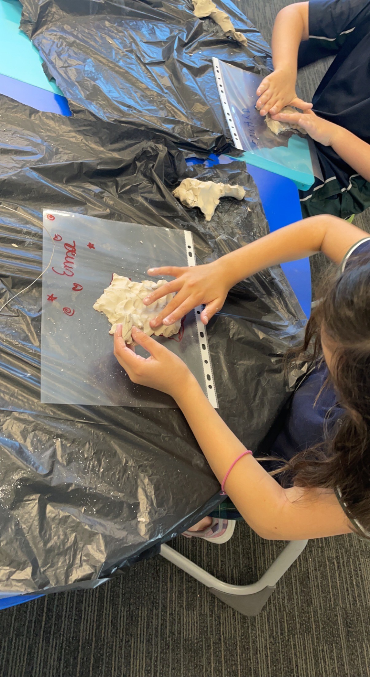
“Year 3 students used their fine motor skills to express their knowledge of the French landscape,” said teacher Habiba Fallet.
“They enjoyed creating their own French borders on clay and the students added a top layer for the mountainous regions.
“The students traced out the rivers with a pencil.
“This activity greatly assisted the students’ recall of vocabulary and understanding of the geographical features.
“When the clay dried, students painted them with the matching colors.”