Last Friday Year 12 Geography students visited Towra Point Aquatic Reserve to delve into the wonders of intertidal wetlands. This eye-opening experience helped develop students’ understanding of ecosystems at risk.
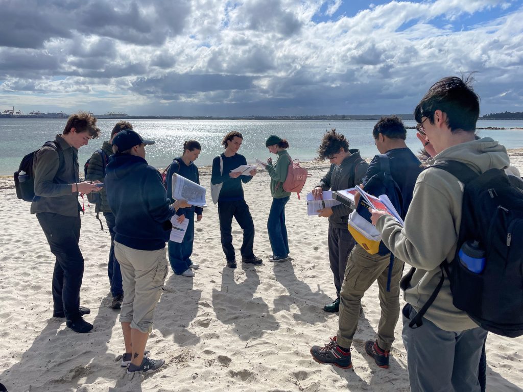
Accompanied by Mr Anthony Dennehy and Mr Carmelo Fedele, our students set out on a memorable exploration of Towra Point. Situated on the southern shores of Botany Bay, this unique aquatic reserve presented an excellent opportunity for our young geographers to immerse themselves in the intricacies of this vital ecosystem. These wetlands are the largest and most diverse estuarine wetland complex in NSW. Representing around half of the remaining mangrove area near Sydney, and most of the saltmarshes remaining in the region, this park is as beautiful as it is complex.
“I had a lovely time and I got to wade through the water to find biological specimens.” said Zach, one of the students.
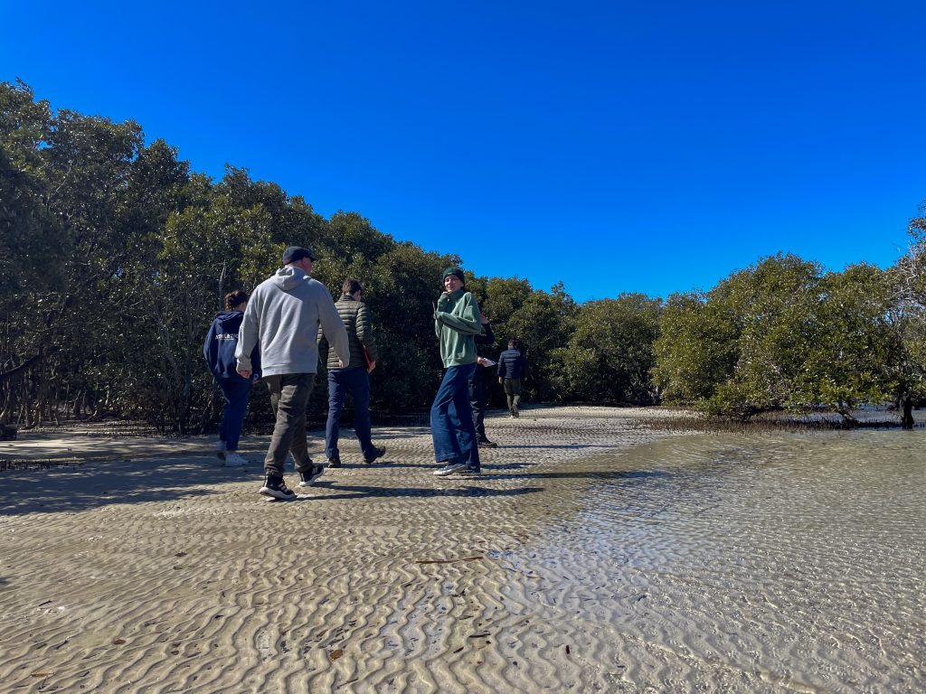
Our students engaged in a multifaceted examination of intertidal wetlands, encompassing their functioning, the human influences impacting them, and the management strategies employed to safeguard their delicate balance. This experiential learning opportunity involved a range of hands-on activities, including:
- Geographic Information System (GIS): Students honed their geospatial analysis skills by utilising GIS tools to map and analyse the reserve’s features.
- Vegetation Transects: Through meticulous vegetation transects, students gathered data on the distribution of plant species within the reserve, offering valuable insights into the ecological diversity of Towra Point.
- Quadrat Sampling: Students employed quadrat sampling techniques to quantify the populations of various plant species, contributing to our understanding of the reserve’s biodiversity.
- Land Use Mapping: The art of sketching land use maps allowed students to visualise the intricate relationship between human activities and the wetland environment.
- Scientific Monitoring Equipment: Utilising scientific monitoring equipment, students collected data to assess the health of the ecosystem.
- Observations and Illustrations: Students observed and documented the adaptations of mangrove trees and saltmarsh plants, further enriching their understanding of these resilient organisms.
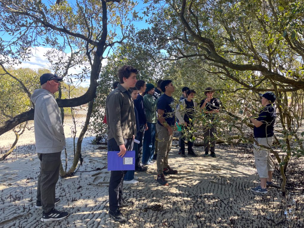
“It was interesting researching the human impacts on the wetland environment. Also, I love mangroves.” Felix
The Towra Point Aquatic Reserve field trip not only expanded our students’ knowledge but also deepened their appreciation for the significance of intertidal wetlands. It served as a vivid reminder of the delicate balance that exists within these ecosystems and the imperative role we play in their conservation.
Enjoy the gallery!